


UK & Ireland Roadmap (British Isles) - Mounted Pinboard With Black Frame
UK & Ireland Roadmap (British Isles) - Mounted Pinboard With Black Frame
Receive it by [[date]] - Order within the next .
PRODUCT DESCRIPTION
PRODUCT DESCRIPTION
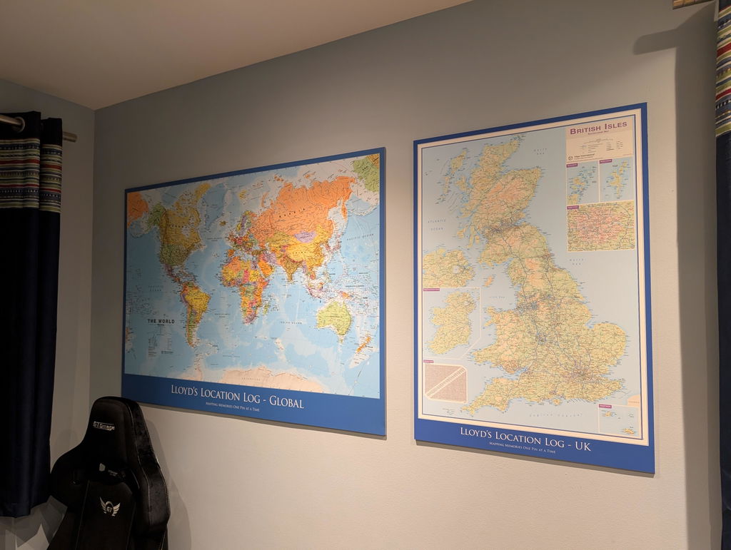
Plan journeys and explore connections with this UK and Ireland road map. Motorways, major roads, airports and rail routes are shown alongside major towns and their approximate populations, bringing transport and settlement information into one overview.
A distance table helps you compare the separation between towns when considering routes. Useful for offices, depots and geographical reference, this wall map provides a broad view of the road and transport network across the UK and Ireland.
PRODUCT SPECIFICATIONS
PRODUCT SPECIFICATIONS
Product Code: UK00261
Dispatch Time: Dispatched within 3 working days

Our commitments
We are committed to creating beautifully designed, expertly crafted wall maps that combine precision with style.

Quality
We are committed to delivering exceptional quality wall maps to customers around the world, combining accuracy, craftsmanship and thoughtful design in every product we create.

Range of Finishes
Every map we produce reflects our passion for detail, accuracy and innovation - delivering pieces that work just as well in the boardroom as they do in the home.