We use cookies to make your experience better. To comply with the new e-Privacy directive, we need to ask for your consent to set the cookies. Learn more


Political Wall Maps
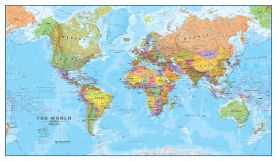
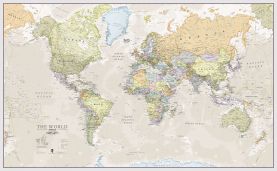
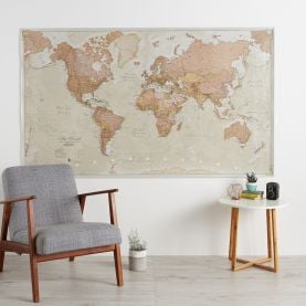
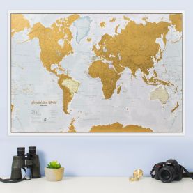
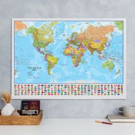
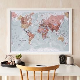
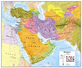
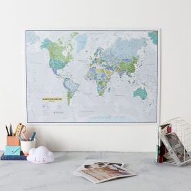
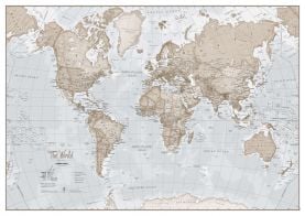
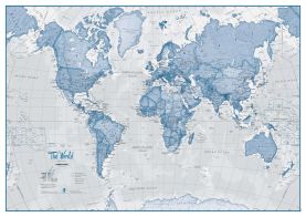
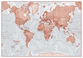
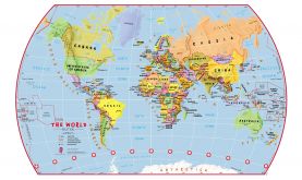
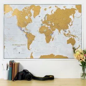
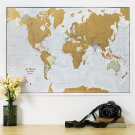
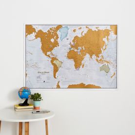
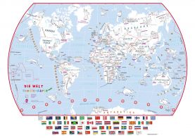
Our political maps have been designed to show the governmental boundaries of a country or state. The political map range includes world, continental and country maps.
-
-
-
-
-
-
-
-
-
-
-
-
-
-
-
-
-
-
-
-
-
-
-
 Doodle World Map With Crayons - German Language (Paper)Price:Special Price £25.20 Regular Price £28.00
Free Shipping
-
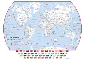 Doodle World Map With Crayons - French Language (Paper)Price:Special Price £25.20 Regular Price £28.00
Free Shipping

Filter
Now Shopping by
Filter by
- Finish Paper Remove This Item
- Map Size Extra Small Remove This Item
- Map Size Medium Remove This Item
Done
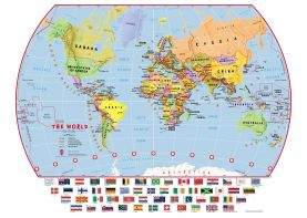
Our political maps have been designed to show the governmental boundaries of a country or state. The political map range includes world, continental and country maps.