We use cookies to make your experience better. To comply with the new e-Privacy directive, we need to ask for your consent to set the cookies. Learn more


Map Range
-
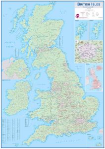
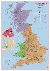
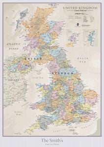
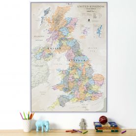
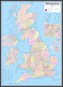 Large British Isles Administrative Map (Pinboard & wood frame - Black)Price:Special Price £198.00 Regular Price £220.00
Free Shipping
-
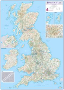
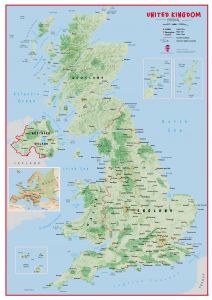
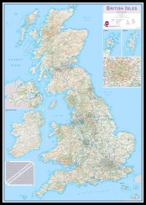 Huge British Isles Routeplanning Map (Pinboard & framed - Black)Price:Special Price £252.00 Regular Price £280.00
Free Shipping
-
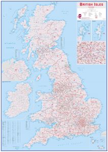
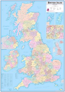 Huge British Isles Administrative Map (Laminated)Price:Special Price £43.20 Regular Price £48.00
Free Shipping
-
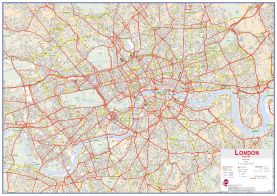
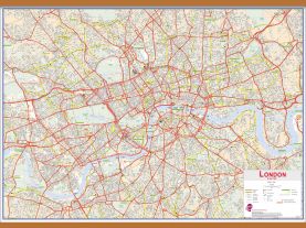 Huge Central London street Wall Map (Wooden hanging bars)Price:Special Price £121.50 Regular Price £135.00
Free Shipping
-
 Huge Central London street Wall Map (Laminated)Price:Special Price £43.20 Regular Price £48.00
Free Shipping
-
-
-
-
-
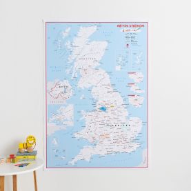
 UK Parliamentary Boundary Outline Map - with updated boundaries for the 2024 General Election
Available in various sizes and finishes
Free Shipping
-
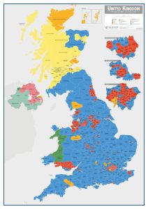 UK Parliamentary Constituency Boundary Wall Map (December 2019 results)
Available in various sizes and finishes
Free Shipping
-
-
-
-
-
-
-
-

-
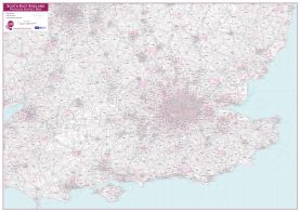
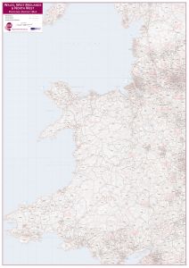 Wales, West Midlands and North West Postcode District Map
Available in various sizes and finishes
Free Shipping
-
-
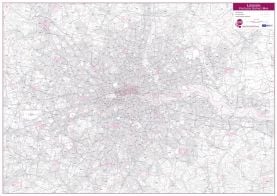 London Postcode District Wall Map (within M25)
Available in various sizes and finishes
Free Shipping
-
-

Filter
Now Shopping by
Filter by
- Category Huge, Giant and Large Maps Remove This Item
- Map Area City Maps Remove This Item
- Map Area British Isles Remove This Item
- Map Area UK Regions Remove This Item
Done