We use cookies to make your experience better. To comply with the new e-Privacy directive, we need to ask for your consent to set the cookies. Learn more


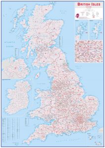
Postcode Maps
-
-
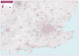
-
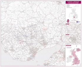
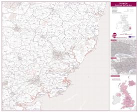
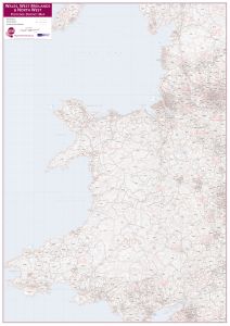 Wales, West Midlands and North West Postcode District Map
Available in various sizes and finishes
Free Shipping
-

-

-
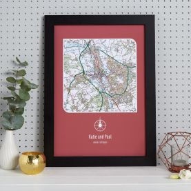
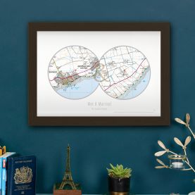 Personalised Postcodes Two Circle Locations Map Print
Available in various sizes and finishes
Free Shipping
-
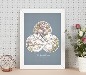 Personalised Postcodes Three Circle Locations Map Print
Available in various sizes and finishes
Free Shipping
-
-
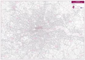 London Postcode District Wall Map (within M25)
Available in various sizes and finishes
Free Shipping
-
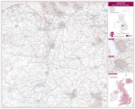
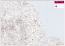 Northern England and the Midlands Postcode District Map
Available in various sizes and finishes
Free Shipping
-

-
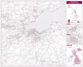
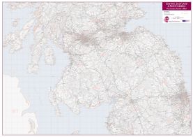 Central Scotland and Northumbria Postcode District Map
Available in various sizes and finishes
Free Shipping
-
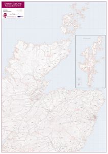 East Scotland (incl. Orkney and Shetlands) Postcode District Map
Available in various sizes and finishes
Free Shipping
-
-
-
-
-
-
-
-
-
-
-

Filter
Filter by
Done